My Planner
To build your own Itinerary, click  next to an item to add it to your Itinerary basket. You will then be able to save, download, or share your itinerary.
Already saved an Itinerary?
About
Easily accessible by rail this family friendly walk of approximately 5.5 miles guides you around the town's different landscapes. From local park land to the boats of the marina, along the quay beside the crouch Estuary, then into open countryside. Here the walk passes the commemoration site of a World War One Airfield, operationally used by the Royal Air Force, Royal Flying Corps and Royal Naval Air Service between 1914 to 1919. The walk then loops back to the town returning to the railway station.
For wildlife lovers there are tow distinct habitats - Grassland birds can be spotted at the befinning and in the countryside section towards the end of the walk. Whilst in the middle of the walk you can observe coastal birds including waders, gulls, ducks and even little egrets. Their habitat is supported at the new RSPB reserve of Wallesea Island which can be viewed on the oppostie bank of the River Crouch.
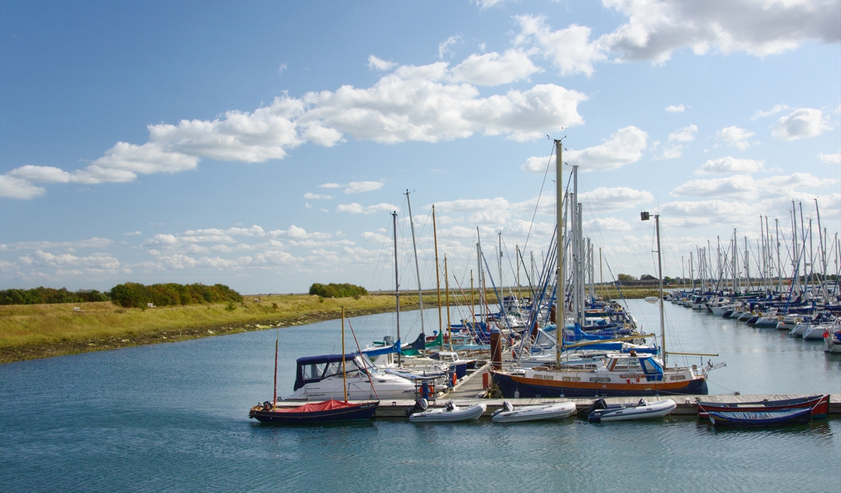
As you walk around the Marina you can look at the many boats. It is also the home of the RNLI station. As you pass along the Quay, you can soak up the town's long heritage of fishing and sailing through the historic and characterful architecture; merchant houses, fisherman's cottages and two Royal Yacht Clubs.
This walk has kindly been developed in conjunction with the Community Rail Partnership and we encourage visitors to use the nearby rail connections when visiting.
Directions
1. From Burnham Railway Station turn right along Station Approach following the railway and the linear carpark until the road joins Foundry Lane.
2. Turn right onto Foundry Lane.
3. Where Foundry Lane turns sharp left follow the footpath off to the right and proceed parallel to the railway line. Follow the field edge eventually turning left towards Creeksea Place Barns.
4. Keep straight, go passed the barns, on towards the river and the sea wall.
5. Climb the Sea wall and turn left towards Burnham.
6. The path loops round the Burnham Marina then re-joins the sea wall.
7. Turn left and now you are on The Promenade. Continue along the Quay towards the White Art Deco building which is the Royal Corinthian Yacht Club (RCYC).
8. Turn Left onto Belvedere Road just before you reach the RCYC.
9. Bear right at the Victoria Inn onto Silver Road.
10. At the end of Silver Road turn right onto Wick Road. This becomes a private road but continue until you see a Public Footpath sign and turn left onto the track.
11. Follow the well signed path turning first right then left, then keeping straight past the information board about the airfield.
12. Pass from one field to another then continue straight onto the field edge and turn right and in 100 meters turn left down the side of an industrial unit until you reach Marsh Road.
13. Turn Left and follow this road along and over the railway line to a T junction with the B1021 Church Road.
14. Turn left towards Burnham. The road goes over the railway line, cross the road at this point and down the steps back to the starting point at Burnham Railway Station.
Facilities
Routes
- Circular Route
- Coastal
- Countryside
- Length of route (miles) - 5.5
- Typical duration of route - 3.5 hours


