Saffron Trail Stage 5 – Chelmer Village to Battlesbridge

Type: Walk
Duration: 8h - 1d

Facilities

Routes

  • Length of route (miles) - 11.5
Product Image
  • Product Image
  • Product Image
  • Product Image
  • Product Image

About

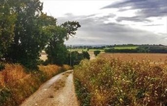
The fifth stretch of the Saffron Trail is 11.5 miles long. It starts at Chelmer Village and finishes at Battlesbridge.

The rivers Chelmer and Crouch are an important feature of this walk, but the trail here is utterly focused on Danbury Mount.

The Saffron Trail stretches 70 miles in total from Saffron Walden to Southend, passing through five county districts: Uttlesford, Chelmsford, Rochford, Castle Point and Southend.

This fifth section of path is probably the most scenic of the seven. It is a hill climb and descent, from the Chelmsford outskirts up to Danbury’s St John the Baptist church, and then a long walk down to Battlesbridge, the Crouch and Rochford district – the first time the Way touches the tide.

Take time to peer into the crystal-clear waters of the Chelmer, one of the cleanest rivers in Essex thanks to the work of volunteers and Chelmer Trust.

The highlights are Danbury Mount and Danbury Common which tower over both river valleys north and south. Look out for giant pike in the Chelmer. Peregrines still hunt the river valley in memory of JA Baker! Never give up looking.

Please see below some of the highlights and coordinates along the route.

Content provided by Stephen Neale
Facilities

Accessibility

  • Disabled toilets - Market Road, Chelmsford, Cm1 1XA Riverside Leisure Centre, Victoria Rd, Chelmsford CM1 1FG

Catering

  • On-site catering - There is 24hr catering in Chelmsford and limited catering along others part of the trail
  • On-site light refreshments - There is 24hr catering in Chelmsford and limited catering along others part of the trail
  • Picnic site - All along the trail

Parking

  • Free Parking - Limited off-street parking around Chelmsford and other villages and towns along the trail.
  • Parking with charge - Numerous public car parks in Chelmsford

Property Facilities

  • Public toilets - • Admirals Park, Chelmsford, Near footbridge from Admirals Park to West Park (51.738620, 0.453184) • Central Park, Behind park café (51.732778, 0.464487) • Market Road, Chelmsford, Cm1 1XA • Riverside Leisure Centre, Victoria Rd, Chelmsford CM1 1FG

Routes

  • Accessibility of route - Urban parts of trail around the towns and villages of Chelmsford are suitable for wheelchairs/pushchairs. Other parts of the trail are not suitable. The terrain is generally flat but can get very muddy in winter. There are some steps and stiles.
  • Countryside - Yes but some urban
  • Length of route (miles) - 11.5
  • Linear Route
  • Long Distance Path
  • Typical duration of route - 1 day (9 hours)

Suitability

  • Dog Owners - Suitable for dogs but must be kept on leads most of the time
  • Families

Map & Directions

  1. START/END:– Under A12 bridge, River Chelmer, Chelmer Village
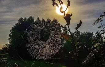
  2. River Chelmer Bridge – find dew laden cobwebs at dawn. The bridge across the Chelmer is one of the better places on the path for spiders.
  3. Lingwood Common – listen for nightingales in spring.
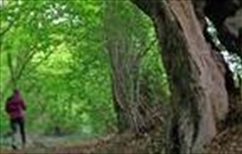
    Lingwood Common
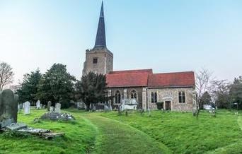
  4. St John the Baptist church – touch the three wooden effigies inside the remarkable 13th century church at Danbury Mount. The site is steeped in history and tales. Good views from the south-side of the church over the surrounding valley and Hanningfield reservoir.
    St John the Baptist church
  5. Danbury Common – Look for roe and muntjacs deer around one of Essex’s largest surviving heaths. They’re best seen at the wooded edges of dawn and dusk.
    Danbury Common
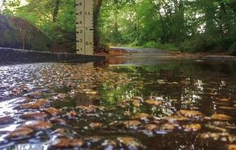
  6. Sportman Lane Ford – paddle one of the trail’s shallowest waterways. Visit after rainfall when the waters get deeper and feeds into Mundon Wash and the Blackwater from Sandon Brook.
    Sportman Lane Ford
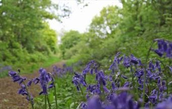
  7. Potter’s Lane – Tramp a carless, green lane stuck in a time warp. One of Essex’s many Unclassified County Roads that is still designated a right of way. The lane has been allowed to go back to nature and is extremely peaceful. Go at snail’s pace, as only ⅓ mile long.
    Potter’s Lane
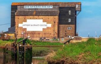
  8. Battlesbridge – look for kingfishers and bass from the bridge above the tidal lagoon. The bridge defines the place where the fresh and salt waters of the River Crouch meet.
    Battlesbridge
  9. START/END:– Battlesbridge. Hawk Hill, Battlesbridge, Wickford, SS11 7RN

Along This Route

No results found.

Along This Route

No results found.

Don't Miss

Don't Miss

Don't Miss

Don't Miss

Don't Miss

Don't Miss

Don't Miss

Don't Miss

Don't Miss